
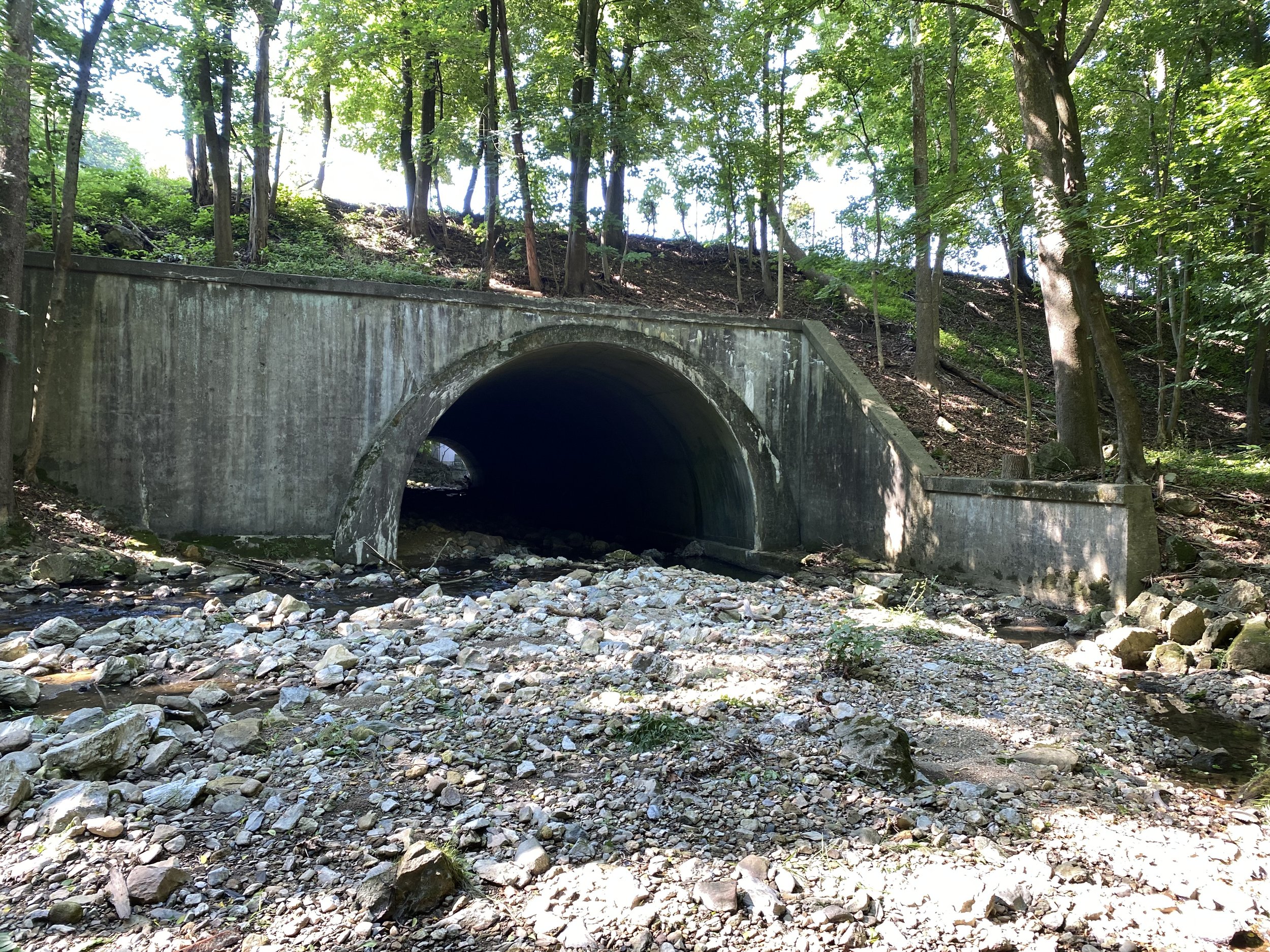
Rt 78, Bridge over Beaver Brook Culvert Rehabilitation Project
The New Jersey Department of Transportation (NJDOT), committed to developing transportation improvements that best balance transportation needs, the environment, community concerns and costs, is holding this virtual Public Information Center to provide residents and businesses with information on the Rt 78, Bridge over Beaver Brook Project. You are encouraged to actively participate by providing comments by mail or e‐mail.
Project Background
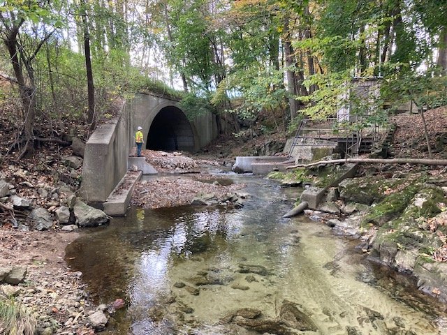
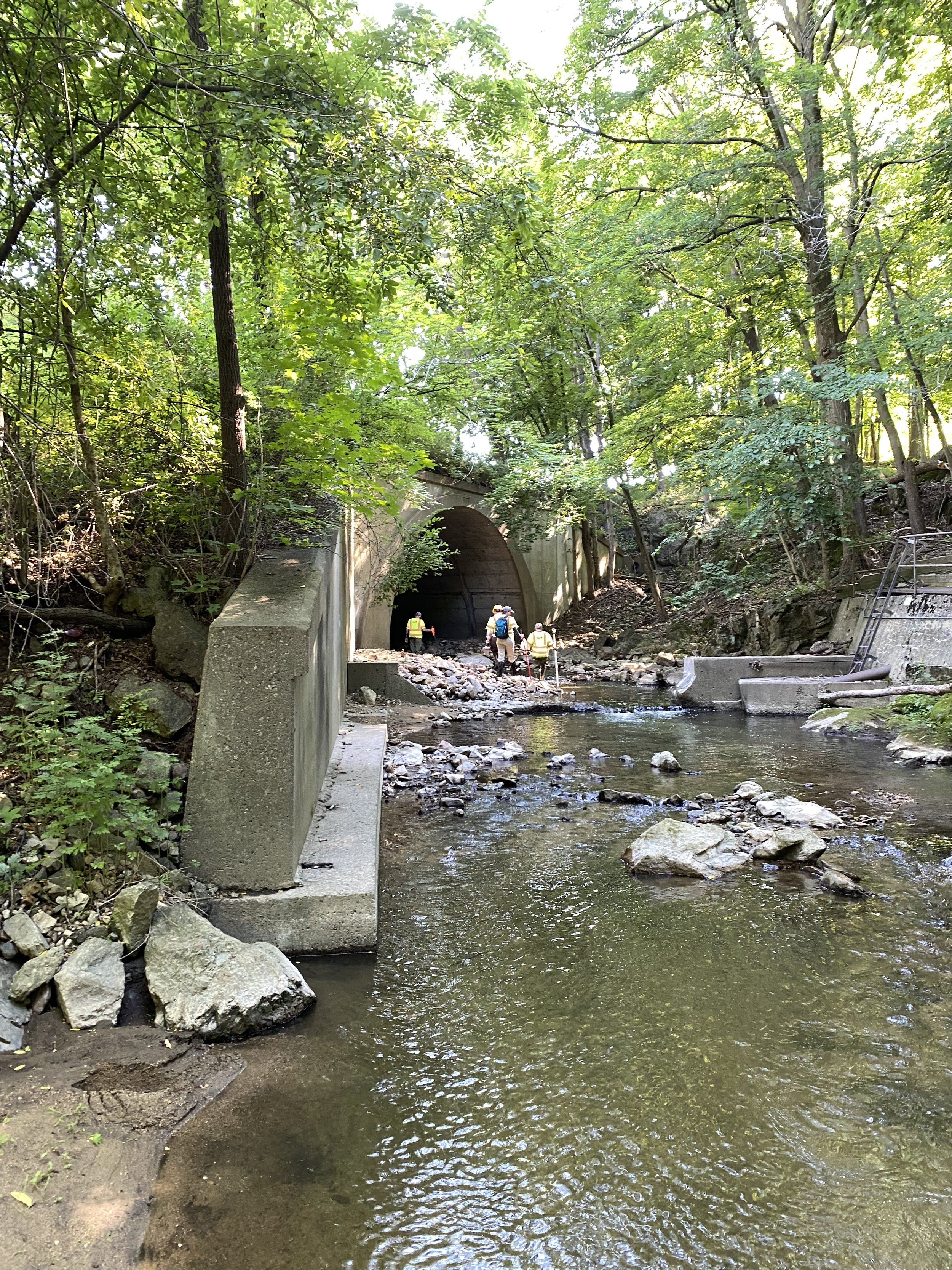
The project site is in the Township of Clinton, Hunterdon County, New Jersey. The culvert was originally constructed in 1941 with a length of 218 ft and extended by 49 ft in 1963, resulting in a total culvert length of 267 ft. The construction of the culvert was done by the New Jersey State Highway Department. A Concept Development report was approved by NJDOT in December 2020 and identified that the culvert is in poor condition and in need of rehabilitation.
The Meeting
This virtual PIC will be held from August 28th – September 11th. The purpose of the virtual Public Information Center presentation is to provide information about the construction of this culvert rehabilitation project. You will have an opportunity to review the presentation, view preliminary plans, view project photos, submit questions, and leave feedback. If you are unable to view the presentation but are interested in learning more about this project, please contact us at the telephone number or email address listed below.
NJ I-78 is classified as an Urban Interstate with Eastbound and Westbound traffic, the highway is divided by a 55-ft grass median. The westbound roadway consists of four 12-ft travel lanes, a 12-ft right shoulder, and a 2-ft left shoulder. The eastbound roadway consists of three 12-ft travel lanes, a 12-ft deceleration lane, a 12-ft right shoulder, and a 2-ft left shoulder. A portion of the existing driveway leading to a residential property located southwest of the culvert will be utilized for temporary construction access. There is an Exxon Mobil Research and Engineering Company facility in the vicinity of the southeast wingwall on the downstream side of the culvert. The existing area is predominantly covered with trees and vegetation and the existing ground is hilly and rocky. Residential properties are located south and north of the culvert. Round Valley Reservoir is located 1.5 miles southeast, and Spruce Run Reservoir approximately 1.8 miles northwest, of the project area.
FAQ’s
The project was initiated as part of the NJDOT Structural Evaluation Program, by the Division of Project Management. The Bridge Inspection Report classifies the substructure is in poor condition with a rating of 4 and structurally deficient. The structure was found to have partial undermining/exposure of the footing in the west arch wall at the north end up to a length of 30 feet. The channel and channel protection are in fair in condition, however, there is water leakage with efflorescence at the joints, concrete spalling with exposed rebar at four joint locations, fine to medium cracks with efflorescence and rust staining at random locations of the arch soffit and accumulation of debris in the channel. The structure is not scour critical. During the Concept Development phase, the NJDOT determined that the structure requires rehabilitation.
-
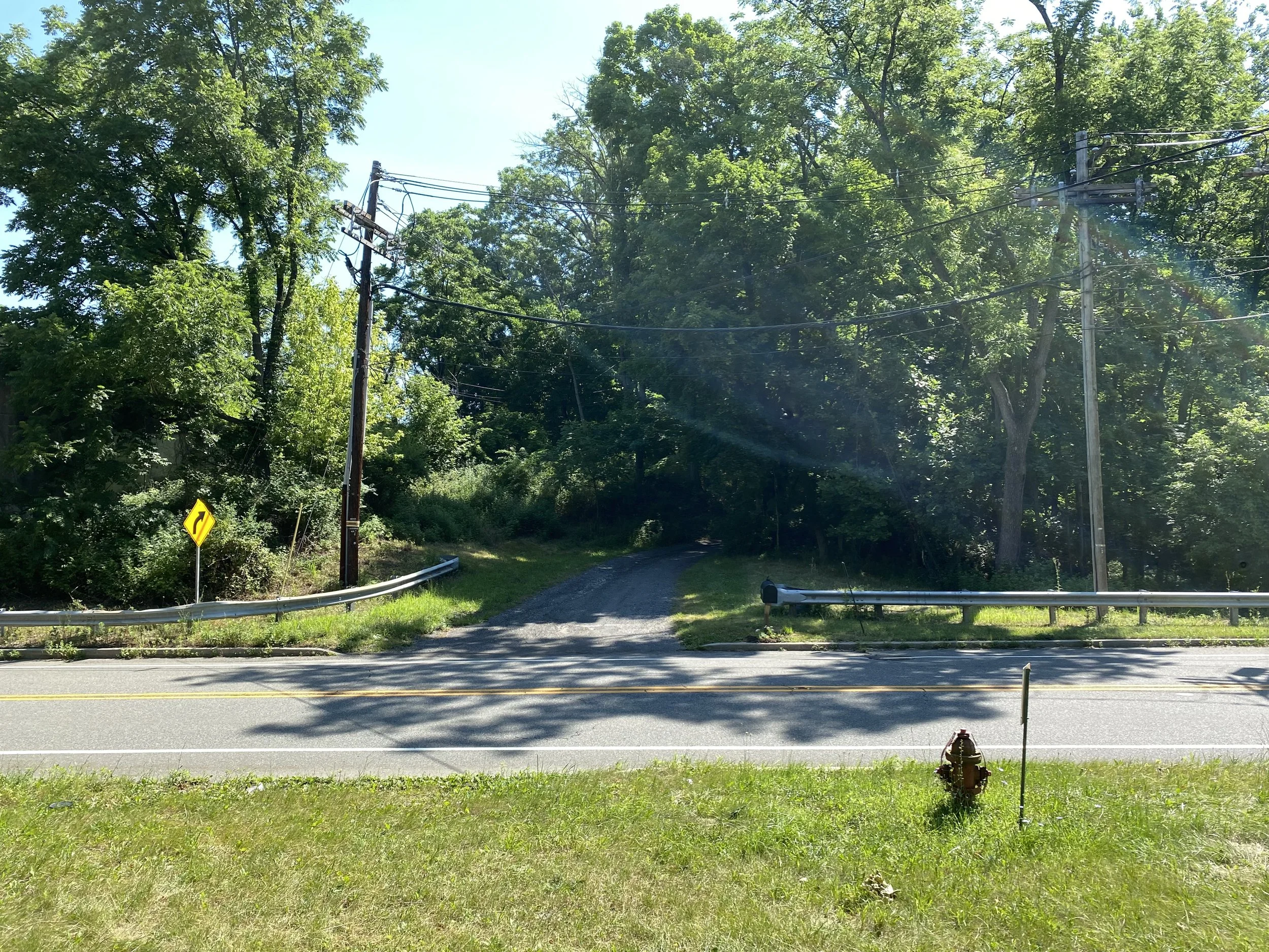
It is not anticipated that there will be any traffic impacts on either road during construction. While construction vehicles will be utilizing Old Allerton Road to access the project site, no impacts to traffic are anticipated on Old Allerton Road. While the culvert is below Route 78, all work will be conducted from below Route 78 within the culvert and adjacent areas around stream level. It is not anticipated that traffic on Route 78 will be impacted during construction.
-
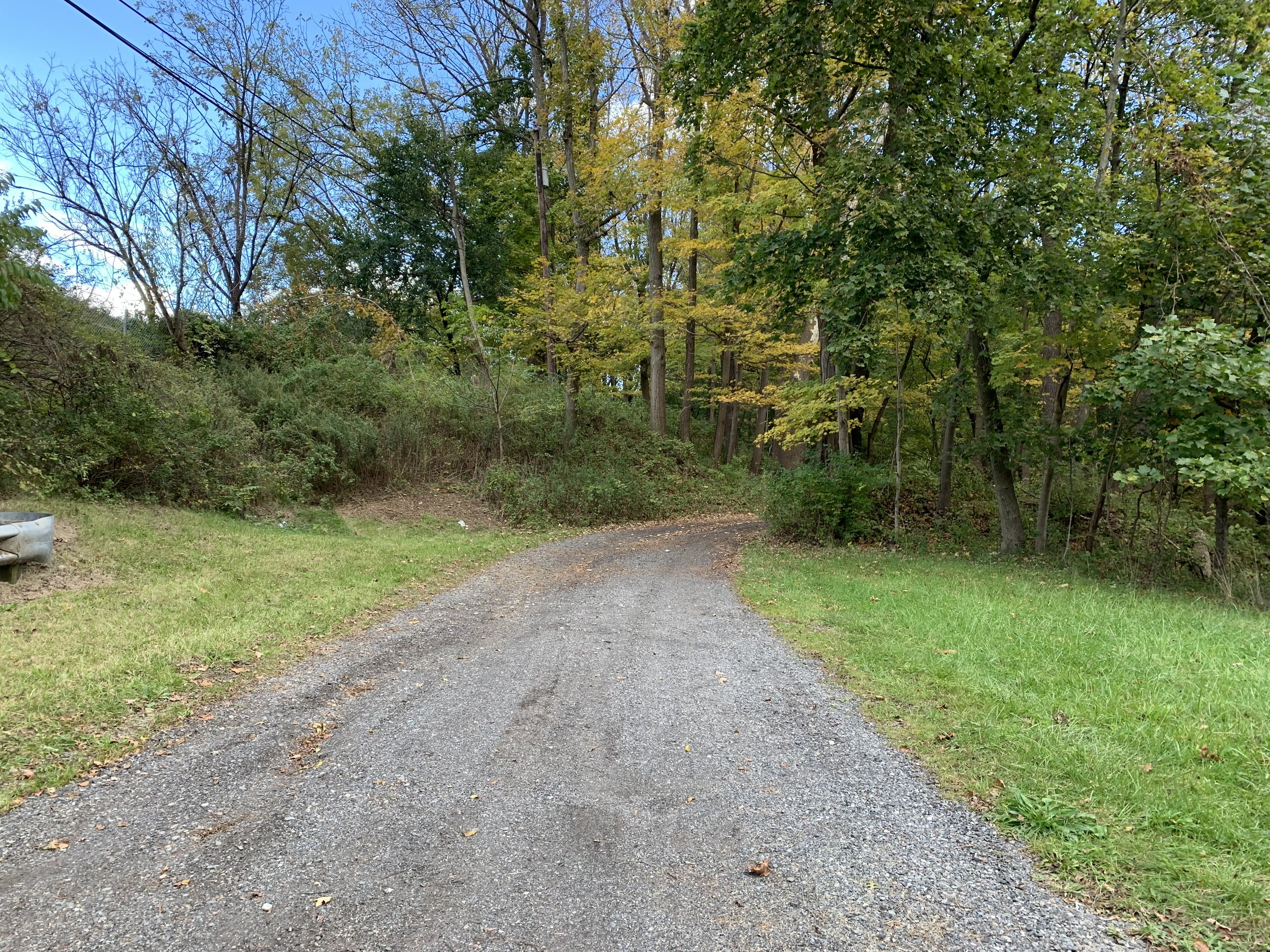
In order to perform the structural repairs, the Contractor will need access to the culvert to bring equipment, materials, and labor to the site. Currently there is no direct access to the culvert.
Multiple alternatives were studied before selecting the location of the temporary construction access driveway. Steep embankments along Route 78 prohibit the contractor from accessing the site for either direction of Route 78. Access to the site via an existing road on Exxon Mobil’s property was explored and discussed with Exxon Mobil, but was dismissed after discovering Exxon Mobil’s stringent restrictions, environmental impacts were too large, and construction of a temporary access road from the end of the Exxon Mobil’s road to the culvert was deemed too extensive. Temporary construction access from the north either from Lower W Street or Beaver Avenue was studied but deemed infeasible due to steep embankments, large quantities of tree clearing, and multiple impacts on residential properties. Ultimately, access to the culvert via the property at 332 Old Allerton Road was selected due to relatively level terrain, presence of an existing driveway, and low overall environmental impact.
-
The next step in the project is the Final Design phase. In this stage the final design calculations and plan production of the structural repairs and temporary construction access driveway will be prepared, the right-of-way process will be finalized, environmental permits will be obtained, the construction cost estimate will be prepared, and the construction schedule will be created.
Project Overview
Environmental Resource Concerns
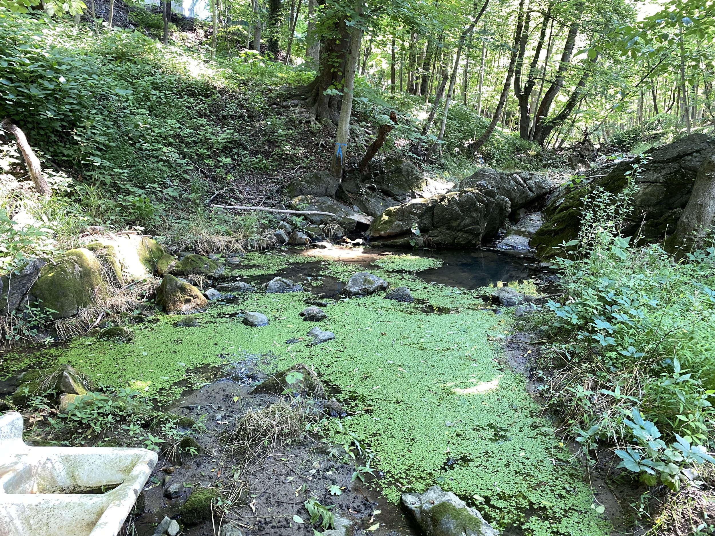
The project occurs within a regulated Flood Hazard Area and an Individual Flood Hazard Area Permit will be obtained. Wetland flagging identified State Open Waters and freshwater wetlands within the project limits and therefore, a General Permit will be obtained. A Bats in Bridges Survey in accordance with US Fish and Wildlife Service is being conducted as part of the project and includes a physical survey of the structure, collection of guano samples, and collection of acoustic signals to aid in identifying species. No presence of Bog Turtles was found during the Bog Turtle Survey. Studies pertaining to Historical Architectural Resources were conducted and coordinated with the State Historic Preservation Office and it was determined that there are no impacts.
Anticipated Project Schedule:
Final Designs: Fall 2026 – Fall 2028
Construction: Spring 2029 – Summer 2030
Learn More About (insert information)
Contact
Feel free to contact us with any questions by filling out the form.
Email
Patience.Sengbey@dot.nj.gov
Phone
(555) 555-5555